With Survey Drone the sky is no longer the limit.


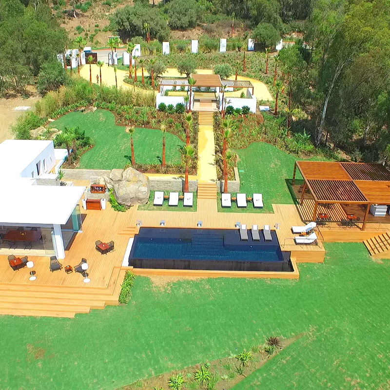
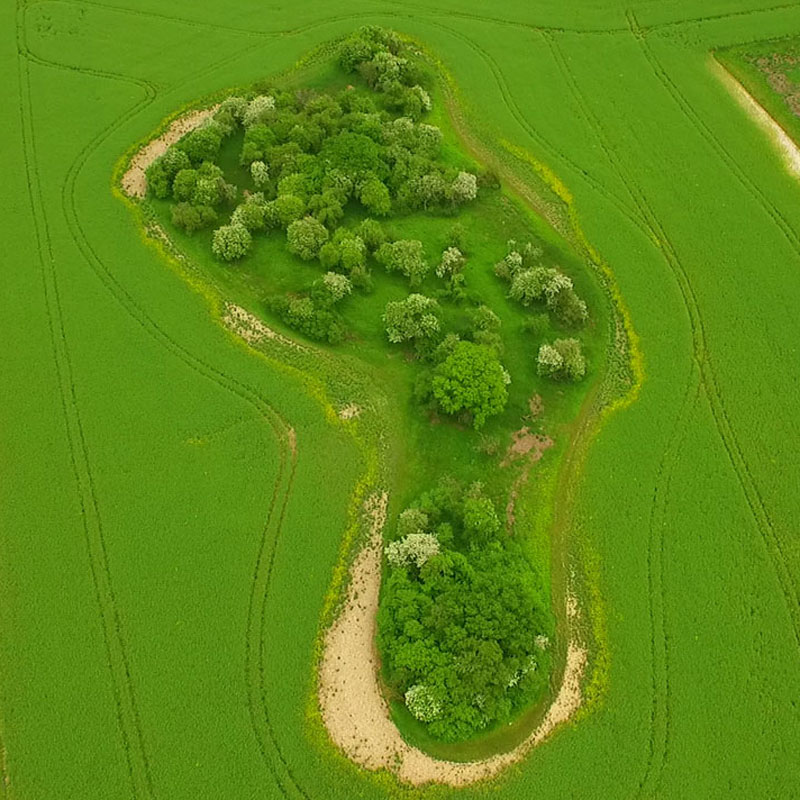
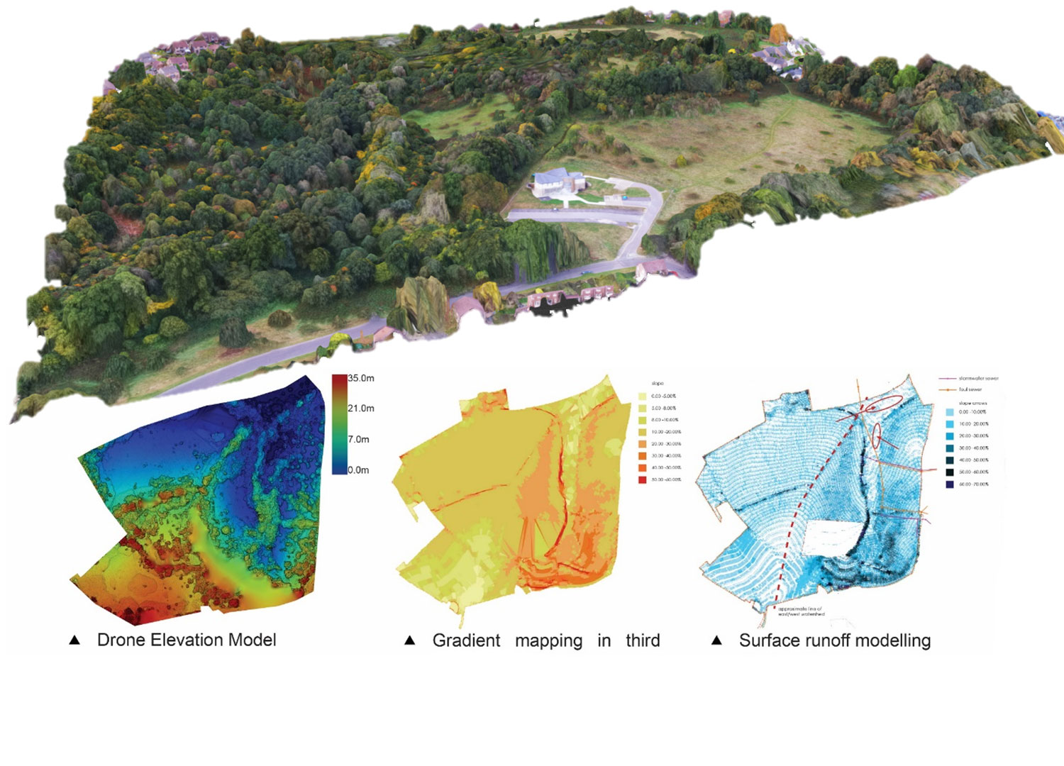
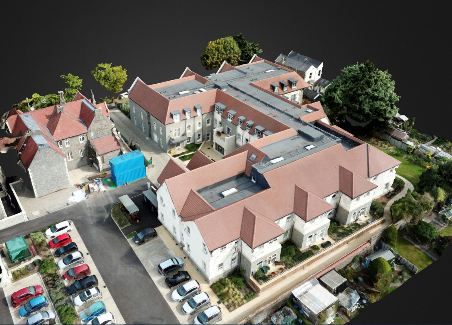
We provide a unique blend of aerial mapping and land planning expertise to produce detailed site assessment, terrain modelling and hydrology assessment. We also provide roof inspections, aerial photography and filming services in the UK and abroad.


Meet the Team


Our experienced team come from a variety of backgrounds including filming, photography, survey and land planning. All of our pilots have considerable experience both in the air and on the ground and understand how conduct operations safely and efficiently in all kinds of locations and conditions, from the humid conditions of Central Africa to the frozen forrests of Europe.

 
Peter WilderPeter founded Survey Drone in 2014 and gained his PfCO in 2015. He has studied landscape architecture and teaches digital terrain modelling and land planning at the University of Greenwich. He is also the Principal of Wilder Associates L…

Peter Wilder

Peter founded Survey Drone in 2014 and gained his PfCO in 2015. He has studied landscape architecture and teaches digital terrain modelling and land planning at the University of Greenwich. He is also the Principal of Wilder Associates Landscape Architects and combines aerial survey with land planning and site apprasial.

Chris WilliamsChris has over 20 years RC flying experience and completed his own PfCO in 2015. Chris is also an experienced Broadcast Systems engineer and Freelance Professional Photographer. Chris often acts as a second operator when two drones are…

Chris Williams

Chris has over 20 years RC flying experience and completed his own PfCO in 2015. Chris is also an experienced Broadcast Systems engineer and Freelance Professional Photographer. Chris often acts as a second operator when two drones are required or where multiple angles are required.

Nigel SorrellNigel is a qualified photographer with many years experience in police photography using helicopters to capture incidents from the air. He has since moved into drone aerial photography and filming with our Inspire 1 UAV.

Nigel Sorrell

Nigel is a qualified photographer with many years experience in police photography using helicopters to capture incidents from the air. He has since moved into drone aerial photography and filming with our Inspire 1 UAV.

 
Oliver ProutOliver is a London based photographer and film maker with exceptional skills in directing and producing short films and music videos. He is skilled in the use of Adobe Premiere and After Effects for video editing. Visit www.psychosaints.…

Oliver Prout

Oliver is a London based photographer and film maker with exceptional skills in directing and producing short films and music videos. He is skilled in the use of Adobe Premiere and After Effects for video editing. Visit www.psychosaints.com

Tom WebsterTom has over 12 years industry experience as a lighting cameraman/DOP within many genres including TV drama, Commercials, music videos, short films & corporate projects all over the world. His experience in setting up and executing di…

Tom Webster

Tom has over 12 years industry experience as a lighting cameraman/DOP within many genres including TV drama, Commercials, music videos, short films & corporate projects all over the world. His experience in setting up and executing difficult shots makes him a valuable asset to any aerial filming sequence.

Beatrix WilderBeatrix manages the day to day operations of Survey Drone, including site surveys, site risk assessment and staff training. She ensures that the company is up to date with the latest regulations and checks that correct procedures are b…

Beatrix Wilder

Beatrix manages the day to day operations of Survey Drone, including site surveys, site risk assessment and staff training. She ensures that the company is up to date with the latest regulations and checks that correct procedures are being followed.

More than just aerial photography.


Survey Drone offer a wide variety of services including aerial filming, site assessment, 3D terrain modelling, roof inspections as well as aerial photography. If you would like more information or a quote, contact us or fill in an enquiry form here.

 
Site survey and analysis

Site survey and analysis

Land Survey

Remote sensing and digital terrain modelling

We are able to collect, process and analyse aerial imagery and provide assessment of site hydrology, elevation, vegetation, access and context  for developers and land agents.

Property inspection

Property inspection

Roof Inspection Surveys

taking the risk out of facilities management

We offer an award winning service in the production of detailed roof condition surveys either on a one off basis or as an annual inspection contract. 

 
Aerial Photography

Aerial Photography

Aerial Imagery

Capturing outstanding detail

Our larger UAV's carry the X5 Micro four thirds camera system to capture outstanding depth of field, dynamic range and colour quality that you can blow up to poster image size for print quality reproduction.

On set inside the fuselage of a cargo plane

On set inside the fuselage of a cargo plane

Aerial Filming

give your production the edge

We are at home shootin on location or on set and have filmed for clients such as Virgin Media, Vevo, Rolls Royce and development companies such as Crest Nicholson, Essential Living, Kitewood and Tudrovale Property. We also offer post production services.

Based In the Southeast with Nationwide Coverage


Survey Drone carry out operations across the UK and overseas with a team of dedicated pilots and dates processing experts. We all also work with affiliated pilots and organisations to ensure that our product is consistent and delivering to exacting standards